
Australia Road and 4WD Easy Read Atlas by Hema
This Hema Easy Read Atlas is designed for the intrepid explorer, offering a comprehensive collection of maps that cover both well-traveled roads and remote 4WD tracks across Australia.
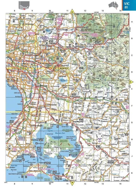
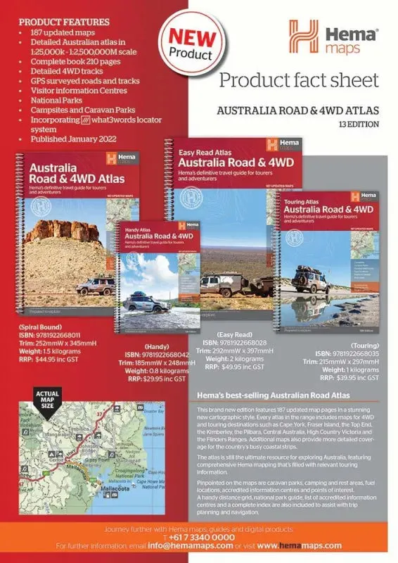
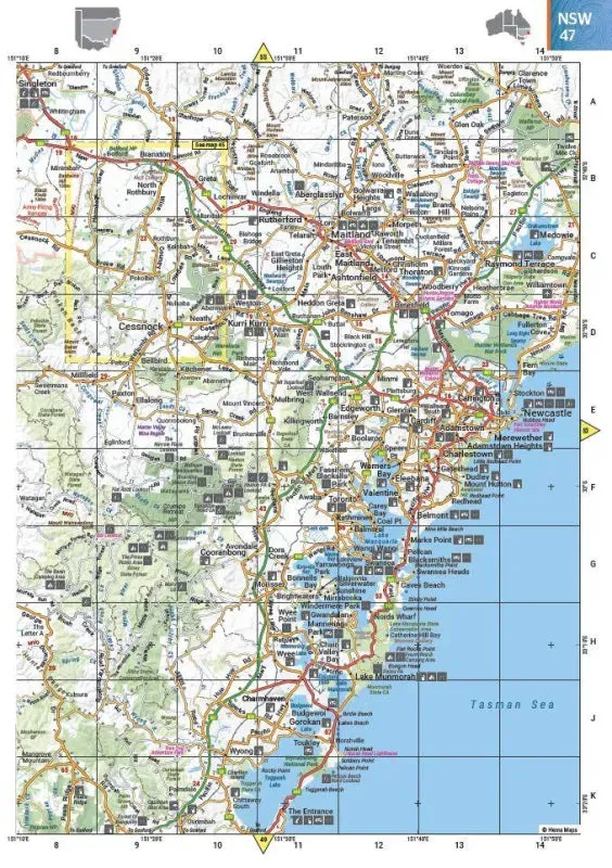
Featuring trusted Hema mapping for all of Australia, the Hema Road & 4WD Easy Read Atlas (13th Edition) is the definitive travel guide for tourers and adventurers. Hema atlases are renowned for providing detailed and practical information that is indispensable for travelers, including 4WD tracks, campsites, caravan parks, rest areas, 24-hour fuel, and points of interest.
This new edition boasts more mapping than ever before, enhanced by a striking new cartographic style that’s incredibly easy to read. It includes up-to-date mapping for Australia's biggest 4WD destinations, including:
- Cape York
- Fraser Island
- The Top End
- The Kimberley
- The Pilbara
- Central Australia
- High Country Victoria
- The Flinders Ranges
A handy distance grid, national park guide, list of accredited information centres, and a complete index are also included to assist with trip planning and navigation. This atlas is the perfect tool for guiding tourers, campers, road trippers, and off-roaders throughout Australia.
Features
- Detailed 4WD tracks
- Fuel locations
- Points of interest
- National parks
- Campsites
- Caravan parks
- Rest areas
- Road distances
- Fully indexed
Specifications
- Edition: 13th
- Publication Date: 31/01/22
- Number of Pages: 224
- Height: 397mm
- Width: 292mm
- Depth: 15mm
- Weight: 1.95kg


